Map_Rover

Problem Statement

Exploring unknown, hazardous and restricted indoor environments like industrial facilities, warehouses and areas unsafe for human entry is risky and often impractical. This is a need for a simple, remotely operated rover that can physically navigate a space and generate a real-time map of its surroundings.   

Contributors

Feature image

About Map_Rover

Solution

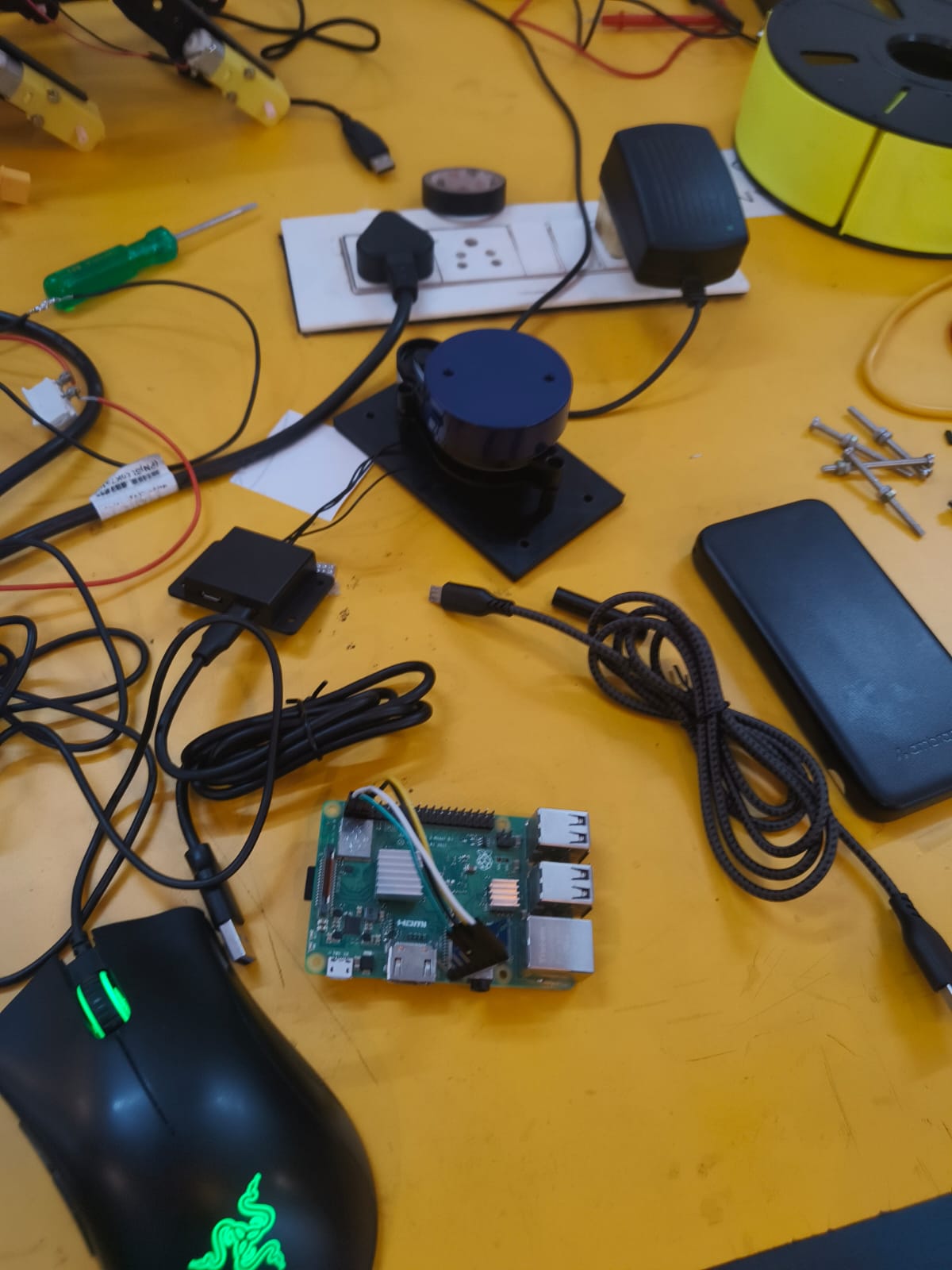
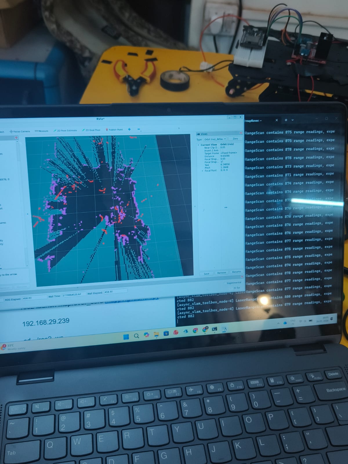
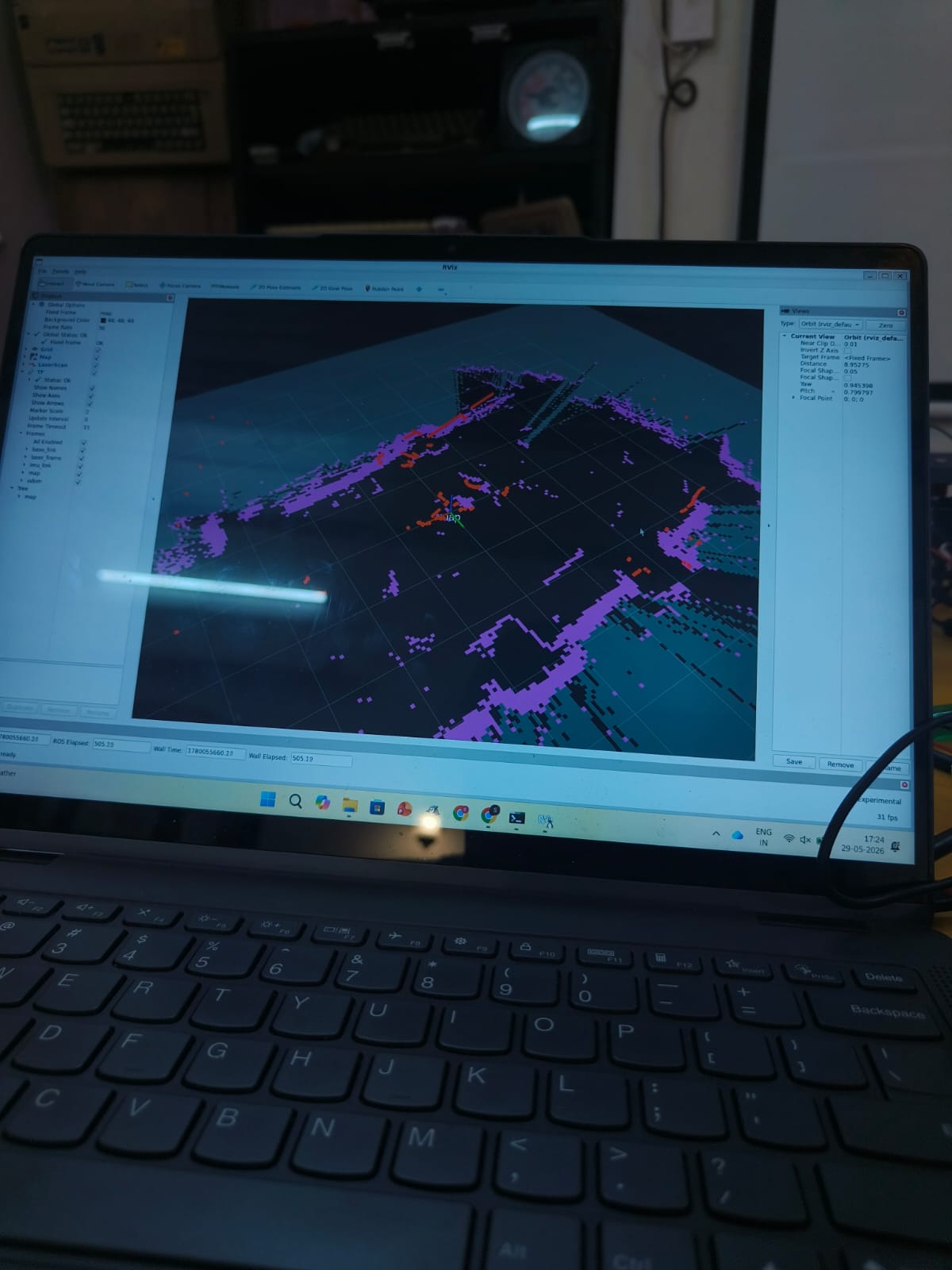
  MapRover is a manually teleoperated 6-wheel drive rover built on a rocker-bogie suspension chassis equipped with a YDLidar X2 LiDAR sensor processed by a Raspberry Pi 3. As the operator drives the rover through an environment, the LiDAR continuously scans the surroundings and builds a 2D map in real time. The Arduino Nano handles low-level motor control while the Raspberry Pi processes sensor data, giving the system a clean separation between movement and intelligence. 

Additional Info

The project was inspired by NASA's Mars rovers and the rocker-bogie suspension system they use. Future goals include 3D mapping of environments as well as introducing waypoint-based semi-autonomous movement where the operator selects a destination on the generated map and the rover navigates there independently.

For more information, please also check out our WIKI at : Project Wiki

OSHWA License


Image Gallery

Built on Unicorn Platform